2024
Transformer End-to-End Optimization of Compressive Lidars Using Imaging Spectroscopy Side-Information
IEEE Transactions on Geoscience and Remote Sensing
Satellite and airborne LiDAR, waveform and photon-counting systems, and computational Earth observation.
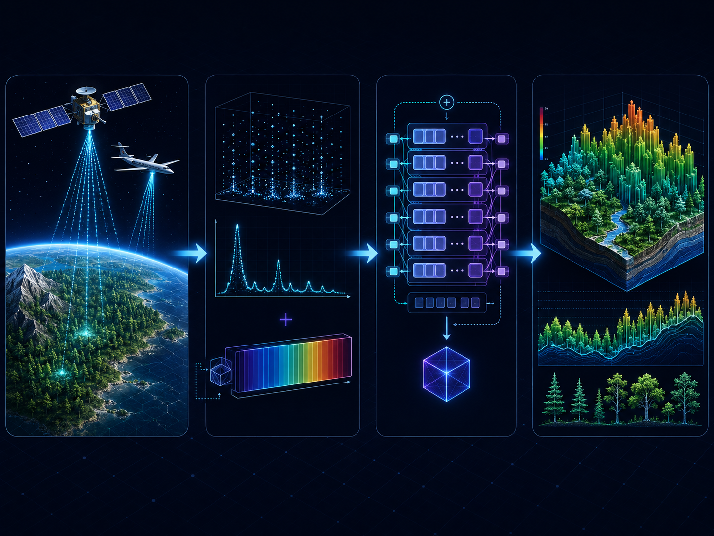
We develop computational LiDAR pipelines that push height-resolved sensing from airborne to spaceborne platforms. By combining compressive sampling with machine learning, the group reconstructs forest structure, topography, and canopy height from photon-limited measurements that conventional processing cannot resolve.
Transformer models and hyperspectral side-information further improve reconstruction quality, while emulation frameworks bridge high-altitude and satellite regimes to prepare methods for the next generation of Earth-observing missions.