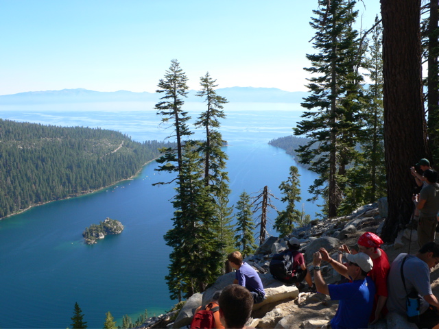
Backpacking the High Sierras 2007: Yosemite National Park

July 13 to 22, 2007

Boy Scout Troop 634

Reisterstown, Maryland


Eleven Scouts aged 13 to 19 and seven adults flew to Oakland, CA on July 13, 2007. All of the scouts and all of the adults were from Troop 634. After landing in Oakland, CA and getting our rental cars, one car made a detour to Mountain View to pickup our backpacking stoves and fuel bottles from a fried to whom we had shipped them, and then everyone drove to a campground in Lake Tahoe. We camped there, then took a day hike in Lake Tahoe (took at 7 mile hike with a 1500' elevation rise to get GREAT views of the lake), followed by a drive to Tolumne Meadow in the Yosemite high country. We camped at the Backpackers Campground in Tolumne Meadow on July 14. We also each rented a bear container for our food and other smellables. We hit the trail on Sunday July 15, in two crews. The crews followed almost the same routes as the two crews from the 2003 Yosemite Trek. This description is of the itinerary of the second crew.


July 15: Begin the ADVENTURE! Starting from Porcupine Flat we hiked just a short 4 miles to a trail camp along the Snow Creek trail that with a short walk had an outstanding view of Half Dome.


July 16: Leaving our trail camp we headed up to the intersection with the Porcupine Creek Trail near Indian Arch (which we visited) and then on to a trail camp on the shoulder of North Dome. Took in a spectacular sunset on North Dome. Just great! Covered about 5.5 miles on this day. No water here though, so three of our crew covered an additional 3 miles roundtrip to fill our three water bladders.


July 17: Took in the sunrise on North Dome and then headed across to Yosemite Point and the Yosemite Falls viewpoint before heading down the Yosemite Falls trail to the Valley. BEAUTIFUL all along the way. Wow! Lost about 4000' vertical feet as the trail as all downhill as we covered about 9 miles. We camped in the valley, taking advantage of showers, gorged on chicken quesadillas and pizza.


July 18: This was a tough day, as we hiked from Happy Isles in the Valley up past Vernal (317' high) and Nevada Falls (594' high) to a trail camp at the intersection of the John Muir and Clouds Rest Trails. We gained over 3000' in elevation on this day.

And, a black bear strolled within sight of camp just after dinner causing a lot of excitement on our part, and then visited us in the our actual camp shortly after we went to sleep that night. When one scout raised the alarm we made some noise, the bear ran out of camp - thank goodness! I should note that our cooking area was well away from our sleeping area, and all of our smellables (food and otherwise) were located in bear canisters well outside of the sleeping area.


July 19: This was another tough day, particularly coming right after a hard day. We went up over 3000' to the summit of Clouds Rest. Just the best views of the Valley, Tenaya Canyon and in every direction, the expanse of the high sierras. One book describes this as the best view in all the Sierras, and we agree! After leaving Clouds Rest we headed back out to Tenaya Lake to our cars. About 10.5 miles on this day. Finally, we drove to the Valley where we spent the night, then visited Glacier Point and the Mariposa Grove of Giant Sequoias before heading back to Oakland where we stayed in a motel for two nights, where we spent a day sightseeing in San Francisco (cable cars, Alcatraz, Lombard Street, Fisherman's Wharf, a beach on the ocean) before flying back to Baltimore on July 22.


PDF file of trail distances and verticals


At Lake Tahoe

missing

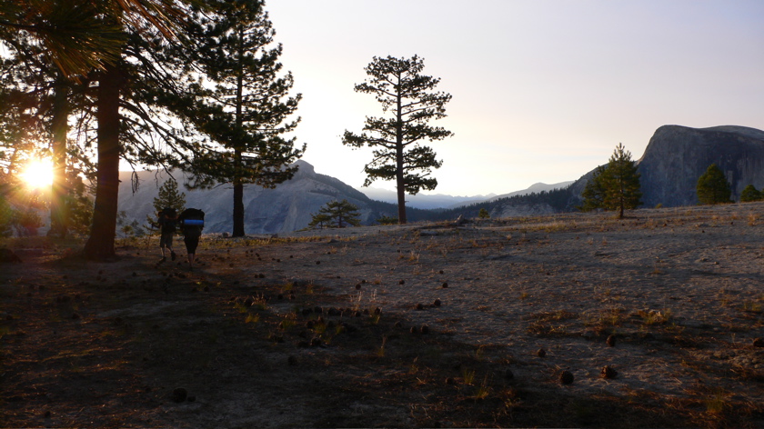
View from near Snow Creek camp

Trail from North Dome to Yosemite Falls

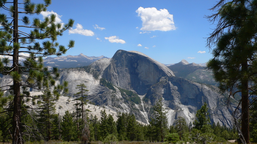
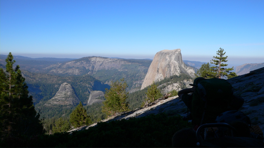
Half Dome from trail to Yosemite Point

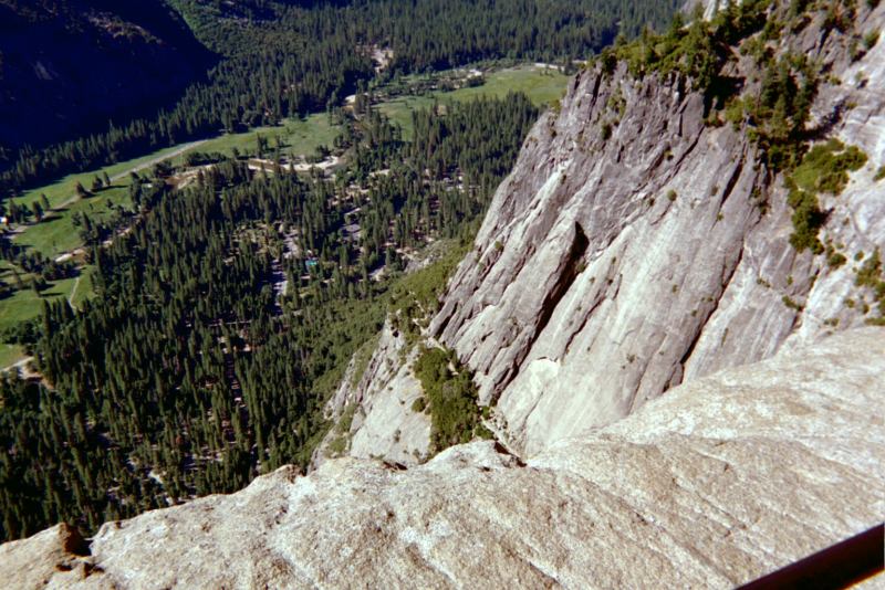
Valley from Yos Falls Viewpoint

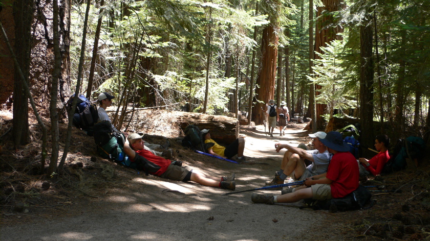
Relaxing on the Trail

Backside of Half Dome from above Little Yos Valley
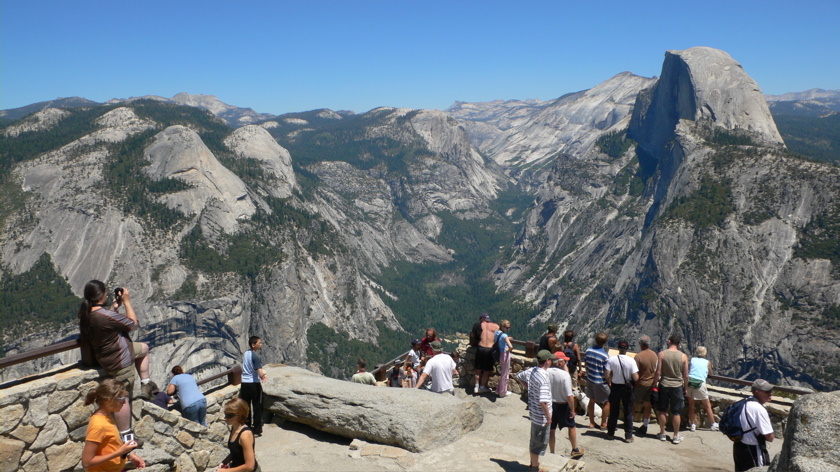
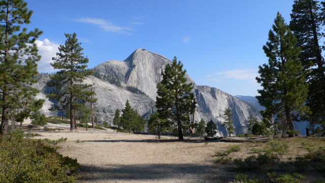
From Glacier Point

Mariposa Sequoia Grove


Click on a picture to view a bigger version