|
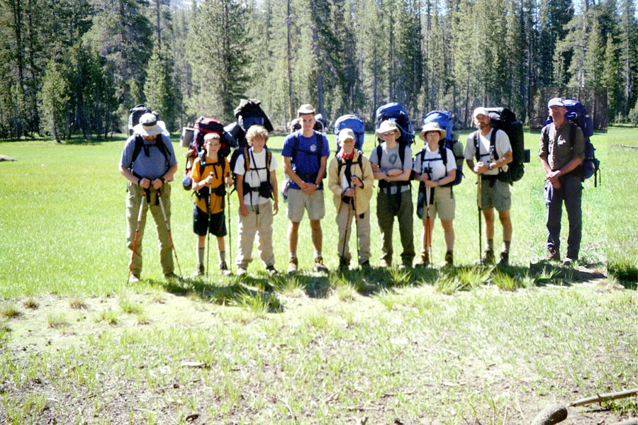
At the trailhead |
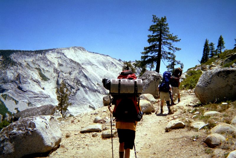
Clouds Rest high on the left |
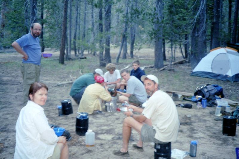
Camp |
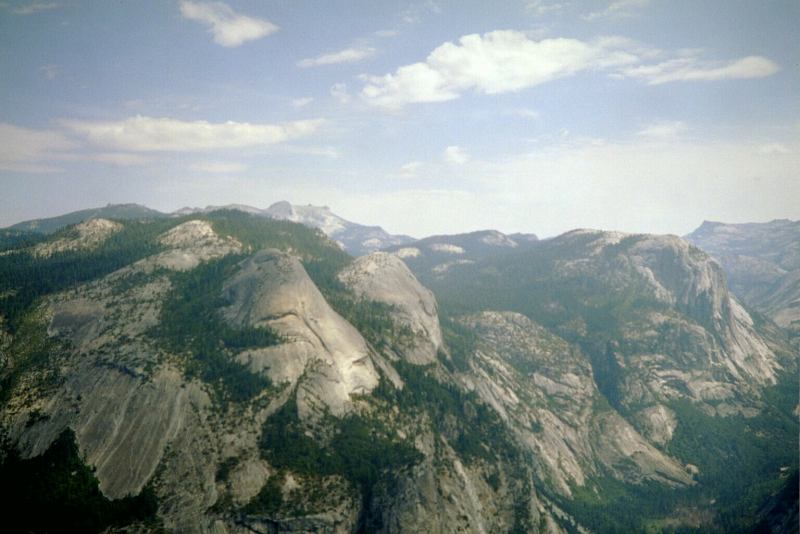
North Dome from Glacier Point |
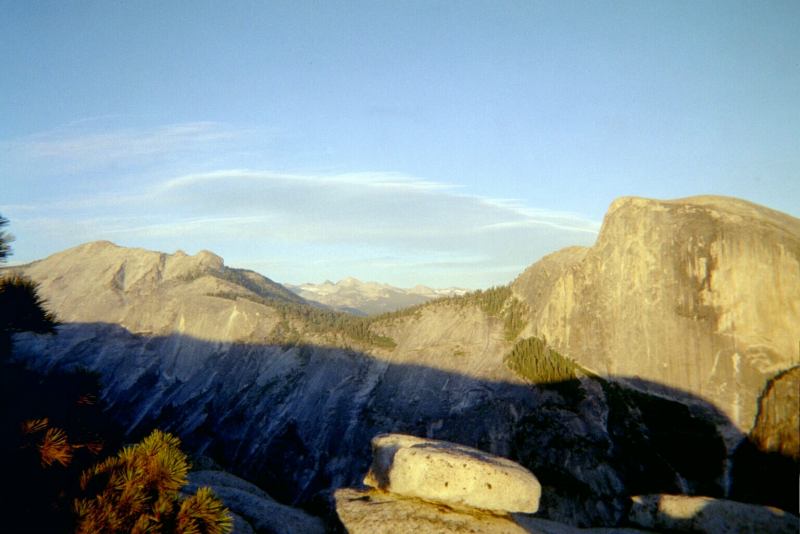
Half Dome and Clouds Rest from North Dome |
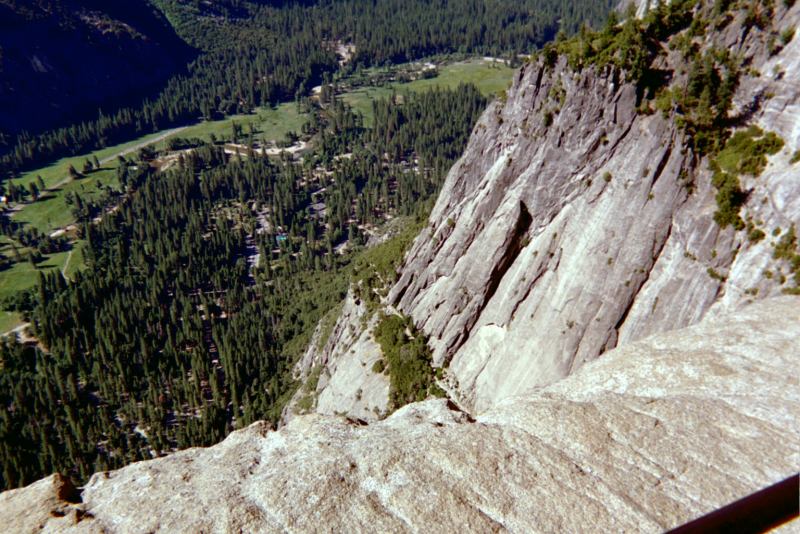
Valley from Yos Falls Viewpoint |
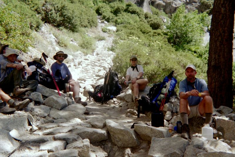
Lunch on Yos Falls Trail |
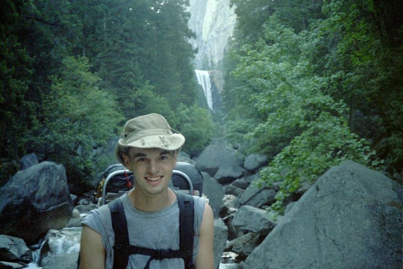
Vernal Falls |
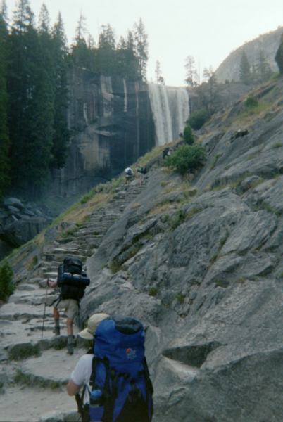
On the mist trail |
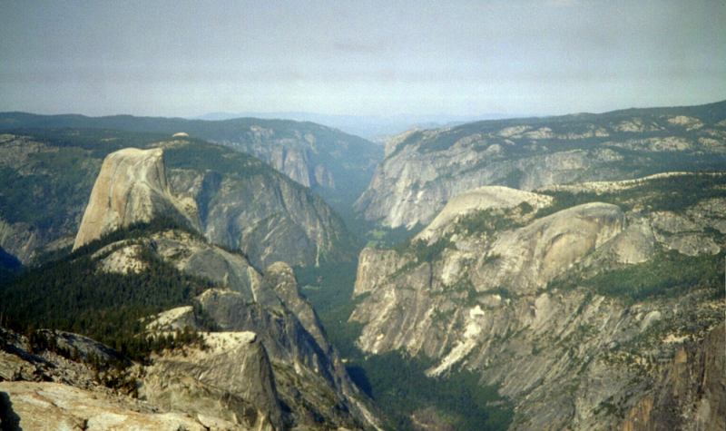
The Valley from Clouds Rest |